VISUAL COMPARISON OF LARGE RASTER DATASETS
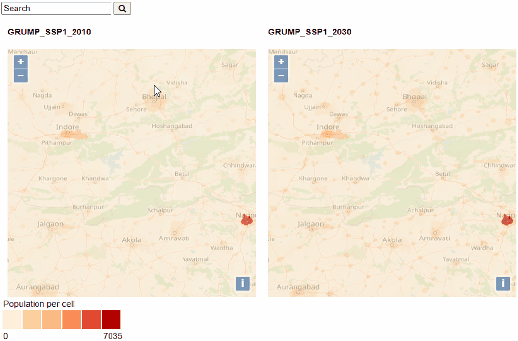
Doing a visual comparison of large raster datasets with a high resolution and/or small scale is a time-consuming task. To speed up this process I developed an interactive tool for this task. There are however some challenges to this development, the main one being the size of the dataset.
Visualizing the entirety of the dataset would either crash most software or lead to a slow performance. As a work around for this issue the world was divided into smaller raster data tiles. Only the tiles currently being displayed would be loaded and these would be colored at the client.
The advantage of coloring them at the client was that the same tile could be recolored as the user was panning around. This way the map could always be colored based on the maximum and minimum values of the current map extent.
Two such maps were placed next to each other so that they could be easily compared.